Cape Flattery is the northwesternmost point of the contiguous United States. It’s located on the Olympic Peninsula, where the Strait of Juan de Fuca joins the Pacific Ocean. We may never be back this way again, so visiting the cape was just too tempting for us to pass up. We packed a lunch and off we went…to what felt like the ends of the earth.

We took Highway 101 north to Highway 112, one of the nation’s National Scenic Byways. We followed the shoreline of the Strait of Juan de Fuca which separates the Olympic Peninsula from Vancouver Island, Canada. There are several little towns along the way to Neah Bay. As the highway crosses onto the Makah Indian Reservation, Highway 112 ends and the Cape Flattery Tribal Scenic Byway begins. We were in search of the 1.5-mile roundtrip trail that would take us out to a cape viewpoint.

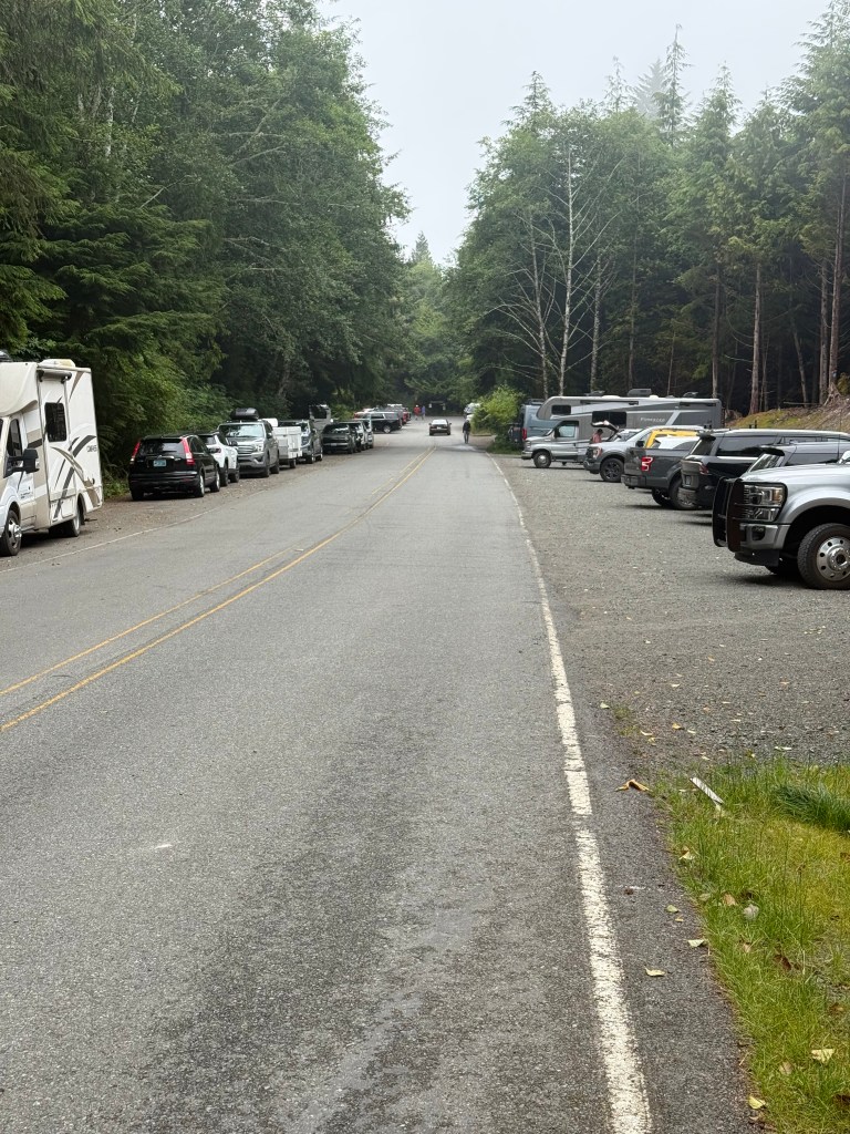
It was a little drizzly when we arrived, so we ate a quick lunch while sitting in the truck. Not very scenic, but we hoped the trail would make up for the lack of lunchtime ambiance.
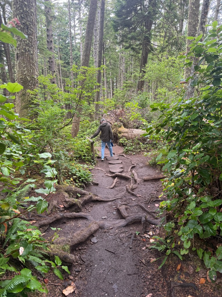
A cheery blue Adirondack chair welcomed us to the start of the trail and from there it was a downhill trek.
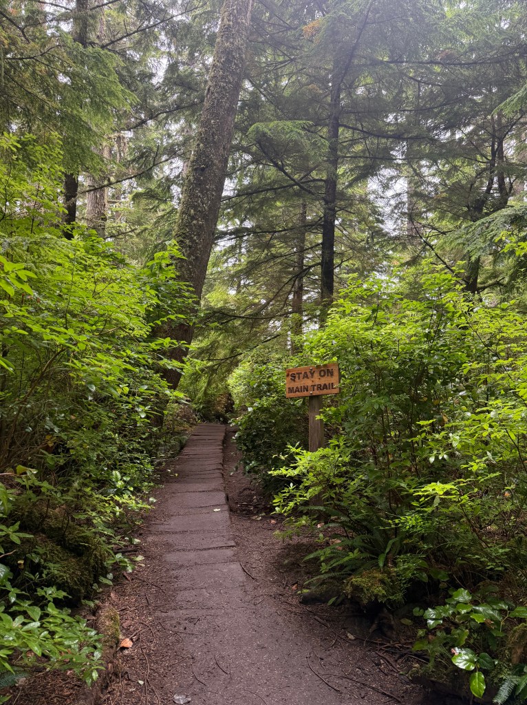
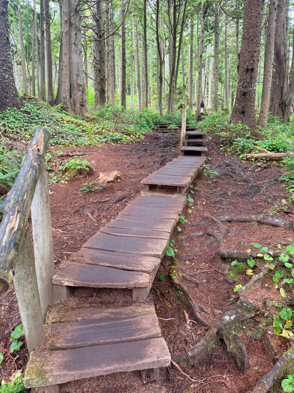
A rustic series of boardwalks kept us all on the path and out of mud. Everyone negotiated the two-way traffic hazards without incident.


At the end, the trail separated into two paths, each leading to a different viewing platform. Continuing to our right, we were rewarded with a spectacular view of the sea caves carved into the northern cliffs.


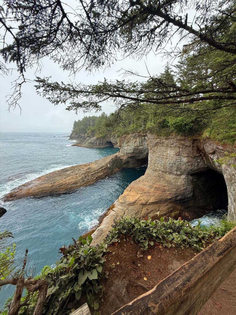

A lighthouse sits out on Tatoosh Island (above) but the fog and mist kept it hidden from us. Retracing our steps, we headed out to the other south-facing platform. Another gorgeous view, however the trees and vegetation created more of a peekaboo view.
From there, it was an uphill walk back to the truck and a return to our campsite. Another surprise discovery we won’t soon forget.


Leave a comment