Tag: Backpacking with Mules
-

John Muir Trail: What will we remember?
It was hard to anticipate just what hiking the John Muir Trail would mean to each of us. It’s been equally difficult to put into words a complete description of our day in/day out journey along the John Muir Trail. We struggled, we learned, we laughed and we celebrated. Each day was a combination of…
-

John Muir Trail: The most beautiful lakes
We were surprised by the sheer number of lakes, ponds and watering holes scattered along the John Muir Trail. Most were so crystal clear that we could count the fish swimming about. Our group was lucky enough to camp at a few of them and Reg and I enjoyed lunch along the shore of others.…
-

John Muir Trail: Type 2 Fun
*Click on the title above to activate slideshow below. The packers were sharing stories of some of their crazy adventures when I first heard the term “Type 2 Fun,” an experience that is no fun as you live it, but in retrospect, one of the best times of your life. For the record, “Type 1…
-

John Muir Trail: No escaping the tough climb
*Click on the above title to activate the slideshow below Reg and I are not the type of hikers who study the trail map in great detail every morning. As long as we are confident we can get from point A to point B, we look forward the surprises the trail offers, so we were…
-
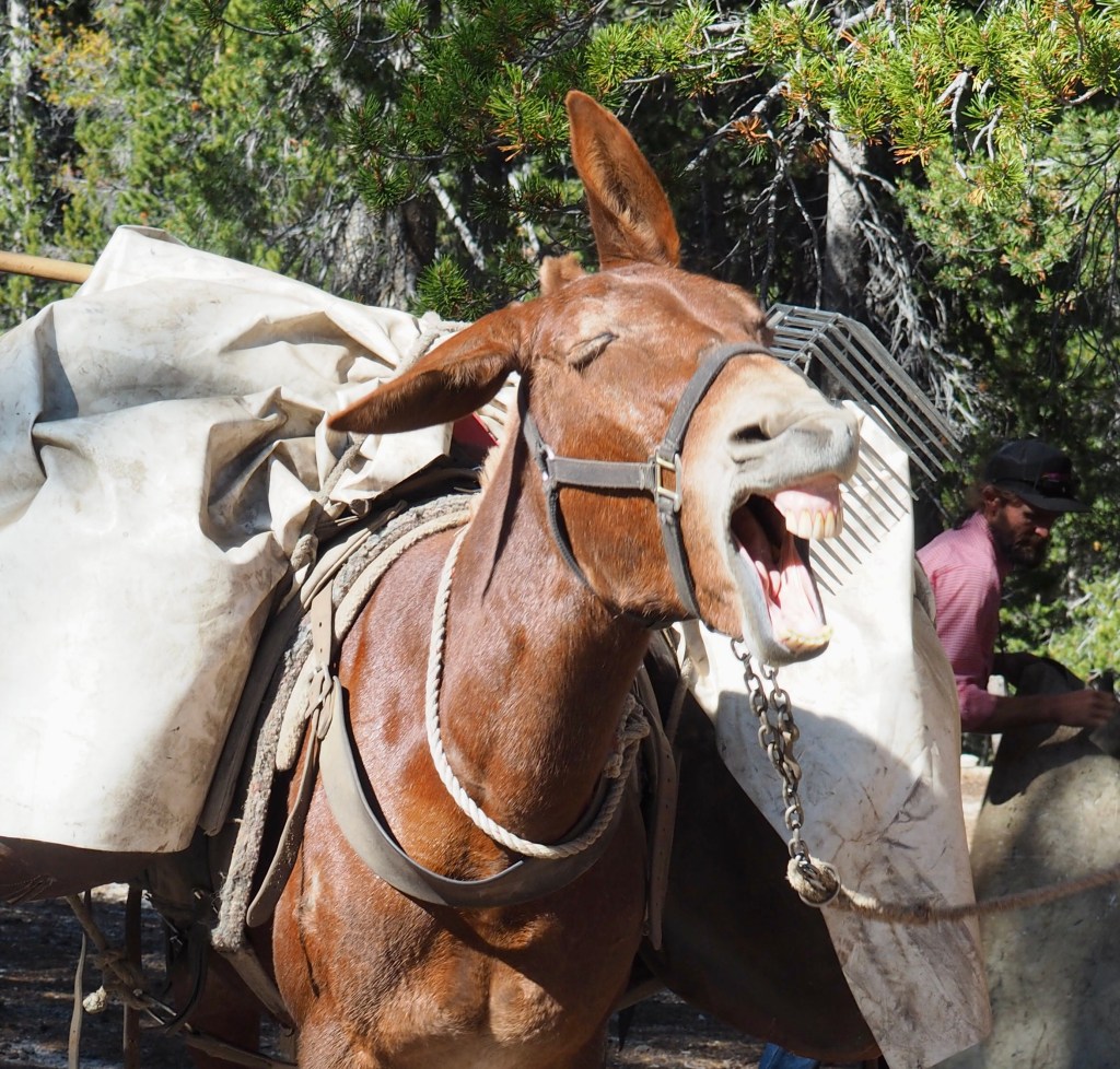
John Muir Trail: Mules, Meals & Camp Life
*Click on the title above to activate the slideshows below In choosing to walk the John Muir Trail with the support of a mule team and packers, we realized far more benefits were more than we could have hoped for. While we still walked every knee-busting mile of the trail, our backpacks were reduced to…
-

John Muir Trail: Over the river and into the woods
*Click on title above to activate slide show below. Crossing Wallace Creek and climbing 1,000 feet to the Bighorn Plateau eventually brought us to one of our more unique and out-of-the-way campgrounds near Tyndall Creek. The day was hot with long shadeless stretches that were especially tiring for all who had summited Mt. Whitney the…
-

Mount Whitney or bust
*Click on title above to activate slideshow below It was pitch black when Reg shook me awake and said, “Honey, I’m leaving.” Up until that point, I don’t think Reg had definitely decided to make the climb. It was 4:00 am and having made the decision to take a rest day, catch up on chores…
-
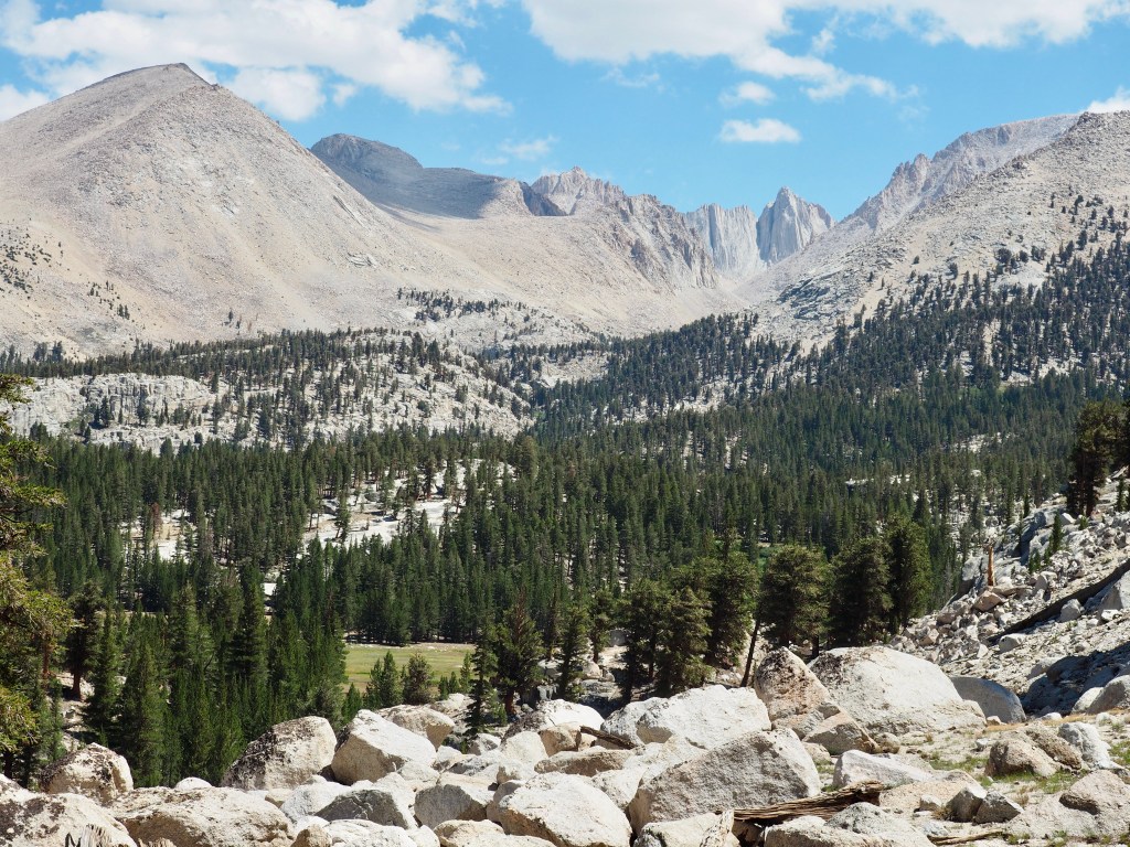
John Muir Trail: Scenery galore
*Click on title above to activate slide show below We entered Sequoia and Kings Canyon National Parks area, covering 20 miles in 2 days to reach Guitar Lake where we spent 2 nights. The trail eventually led us along Rock Creek where our second campsite was located. The next morning we had just over 3,000…
-

John Muir Trail: Loaded and ready to go
If you remember our last post, you’ll recall that over a month ago we were getting ready for the trip of a lifetime; a 243-mile, mule assisted trek along the John Muir Trail. I don’t know about Reg, but I certainly had plenty of misgivings right up to the moment we first set foot on…
