
Two years ago, we escaped the cold Oregon winter and, for the first time, spent January and February in Tucson, Arizona. The area turned out to be a hiking paradise for us, offering what seemed to be a never-ending network of trails.

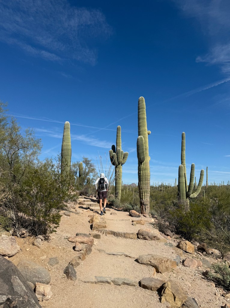
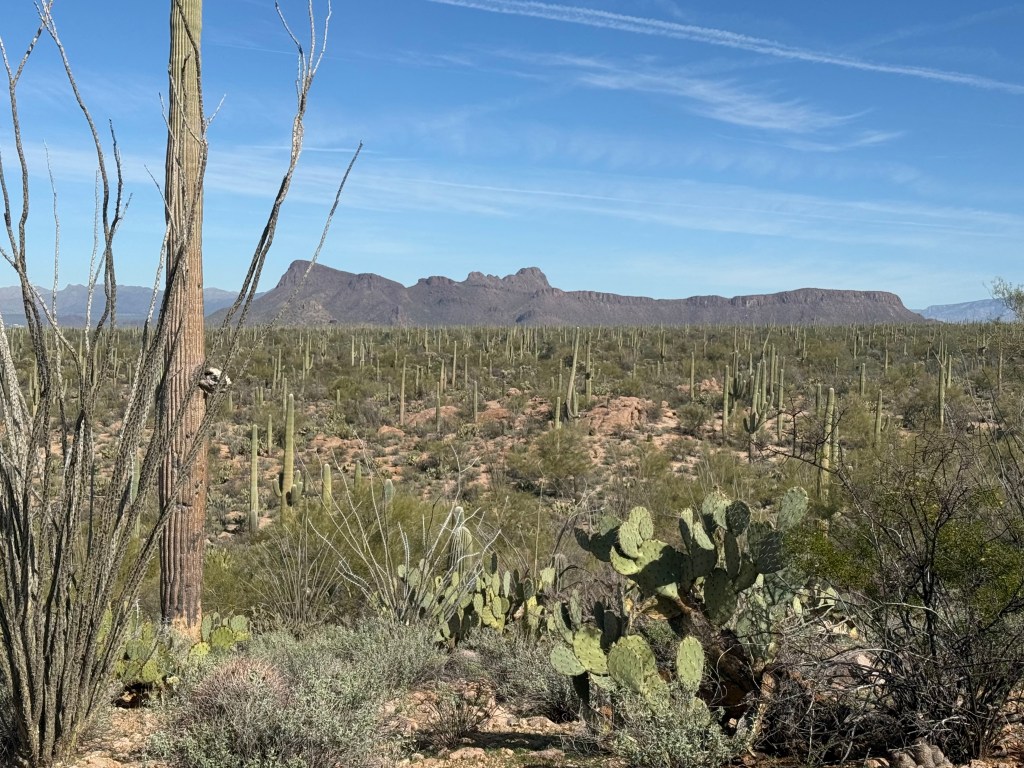
This year we’re back in Tucson, revisiting some old favorites and discovering new trails. Reg packed our lunch Monday and I directed him on a drive to the far edge of Saguaro National Park West where three trails would create a lollipop pattern for us through new territory. If we followed directions, we were promised a view of ancient petroglyphs at Signal Hill.
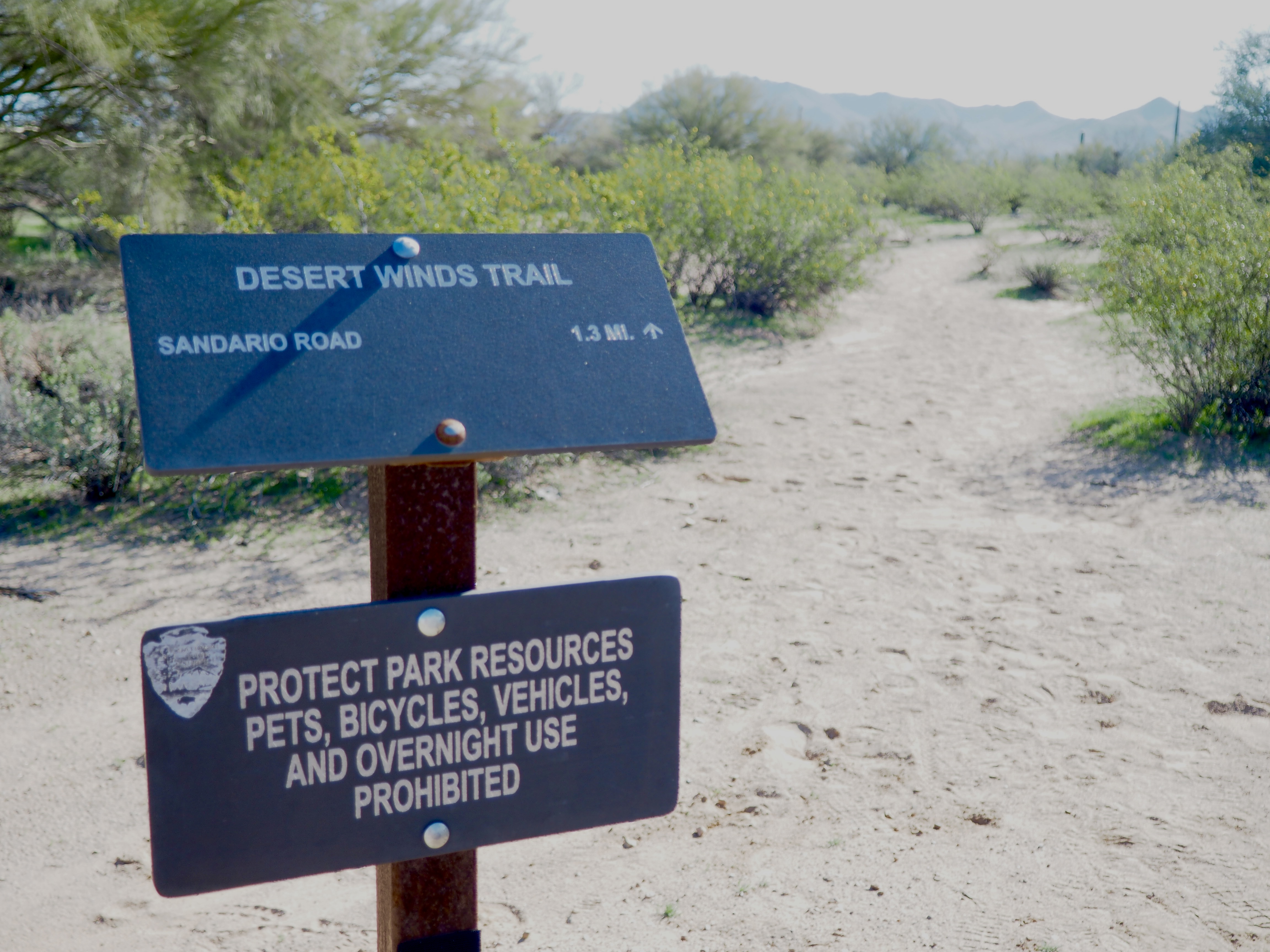
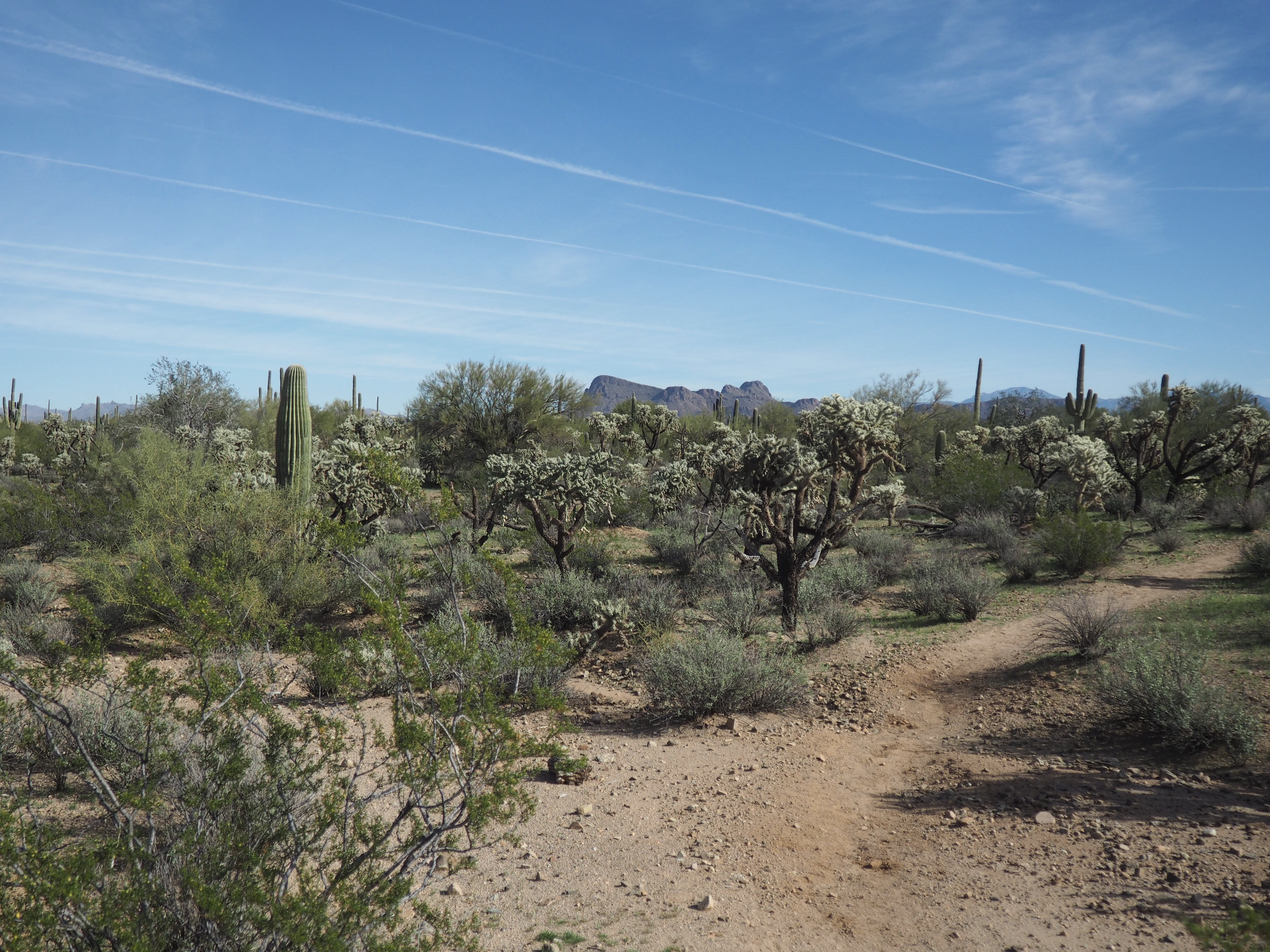
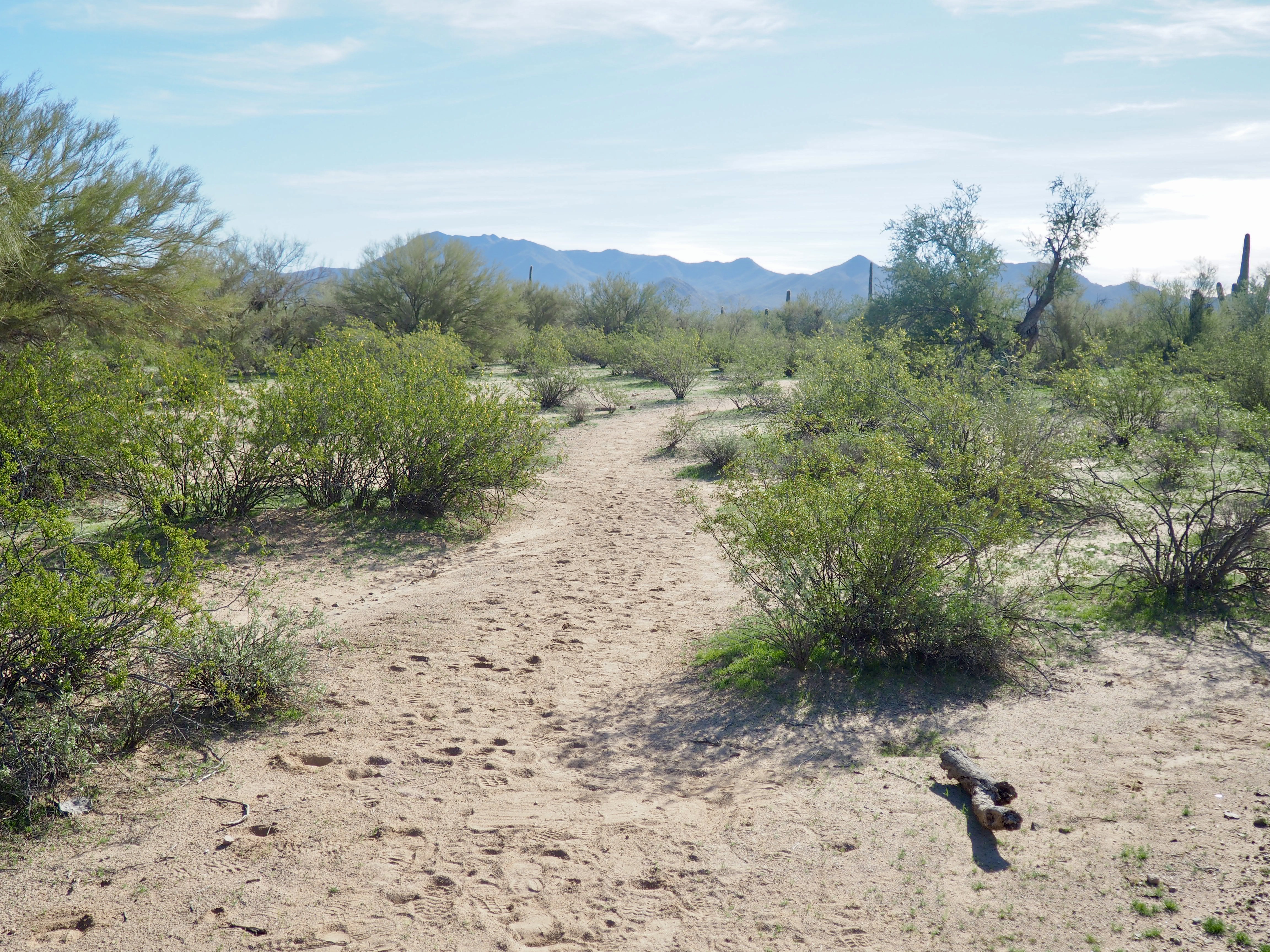
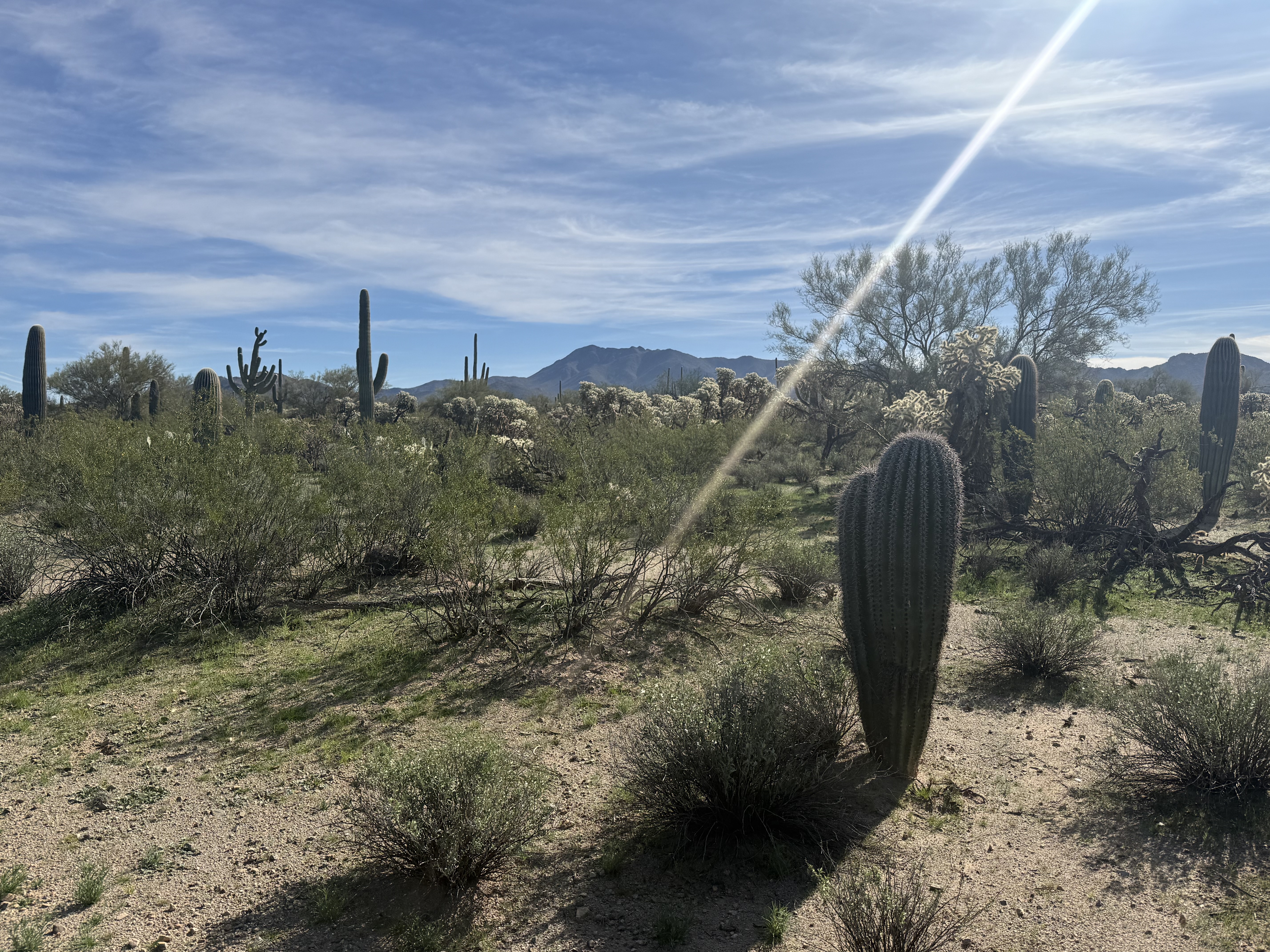
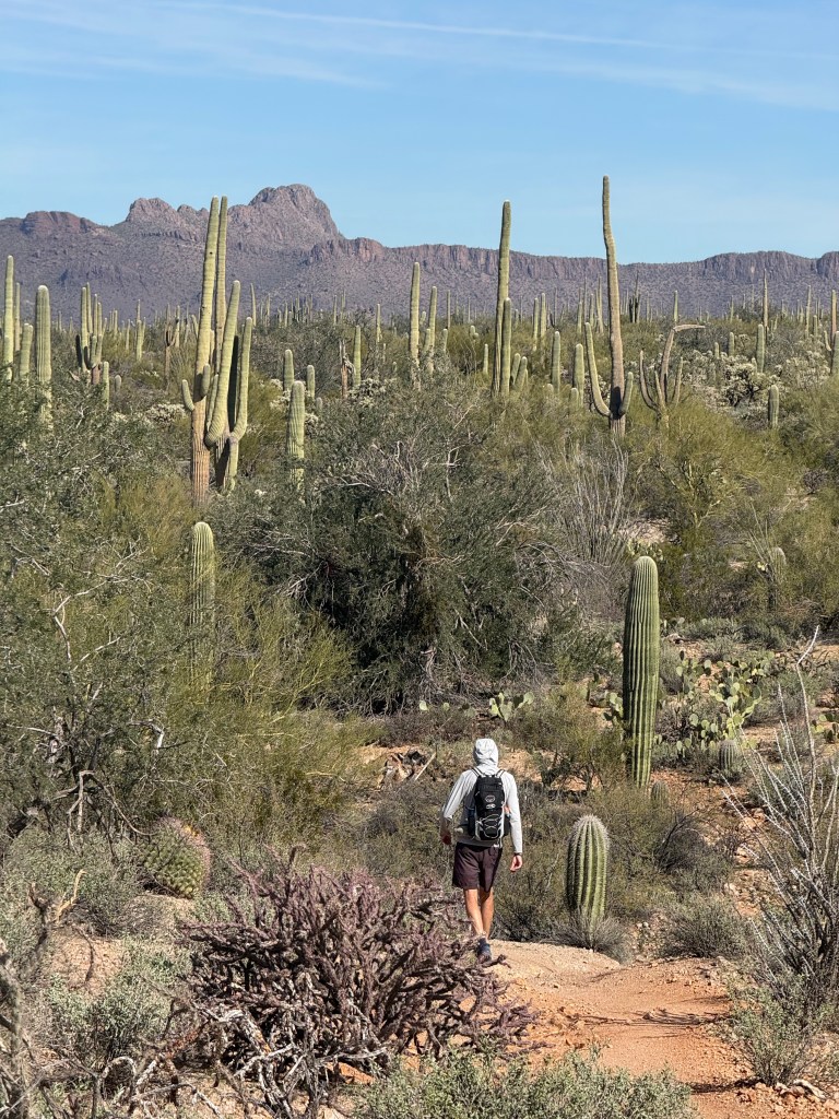
The Desert Winds Trail, the out and back “stick” of our lollipop, began at Picture Rocks Park. The flat, sandy path led us through a landscape far different from the rocky trails we’re more familiar with. After just over a mile, we crossed North Sandario Road, entering the national park where we joined the Manville Loop Trail.
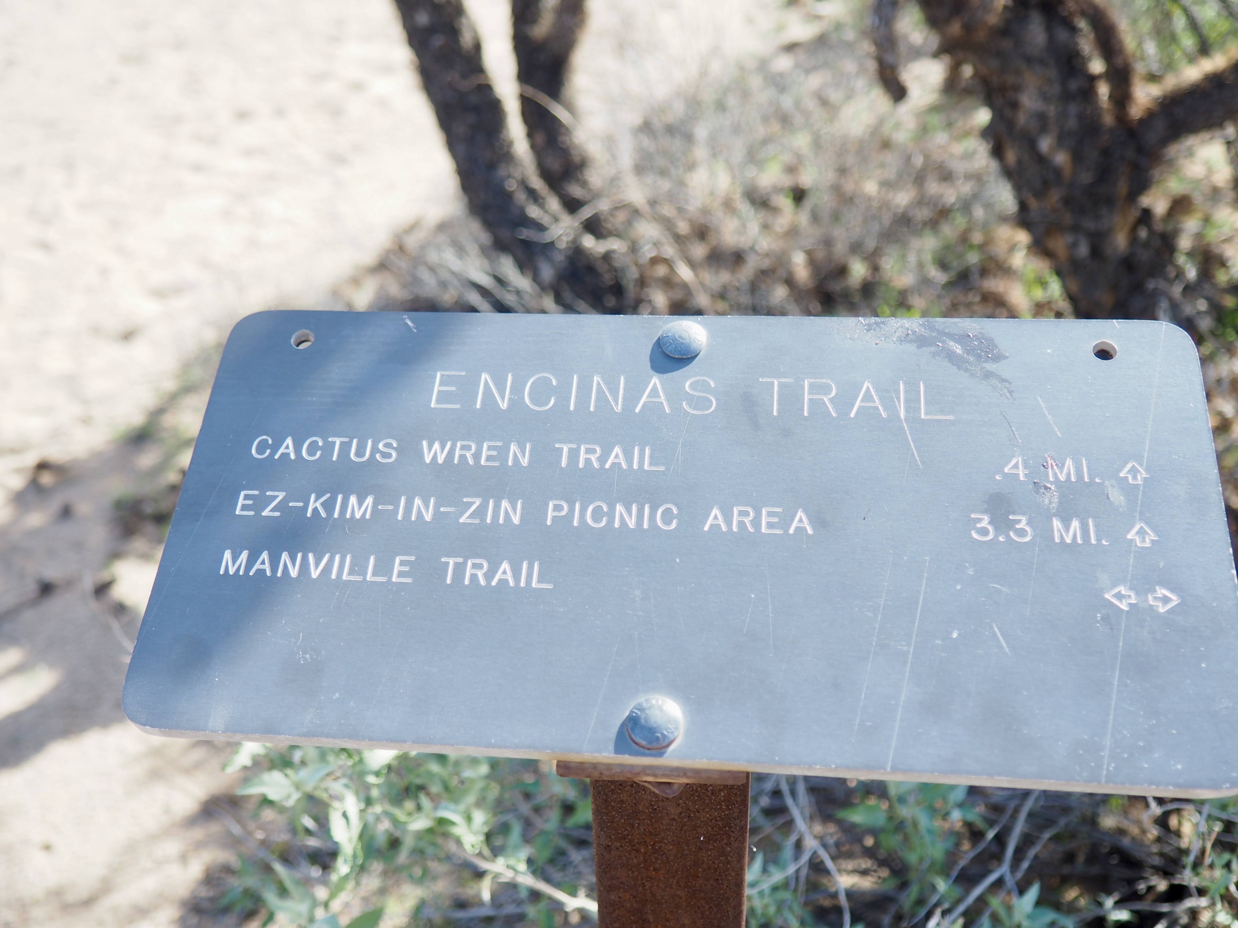
A right turn on the Manville Trail led us along some gentle, rocky ups and downs and through a sandy wash where we climbed up to the Signal Hill Picnic Area. Reg scouted out a shady lunch spot inside a 1930s ramada, originally built by the Civilian Conservation Corps (CCC).
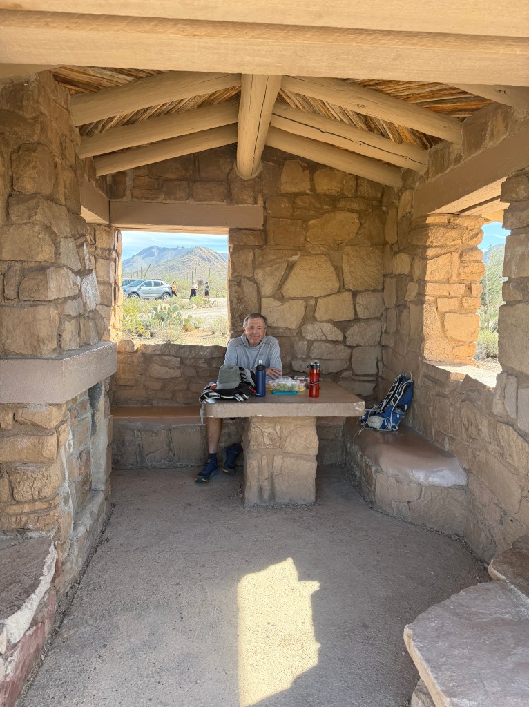
Civilian Conservation Corps built throughout the 1930s.
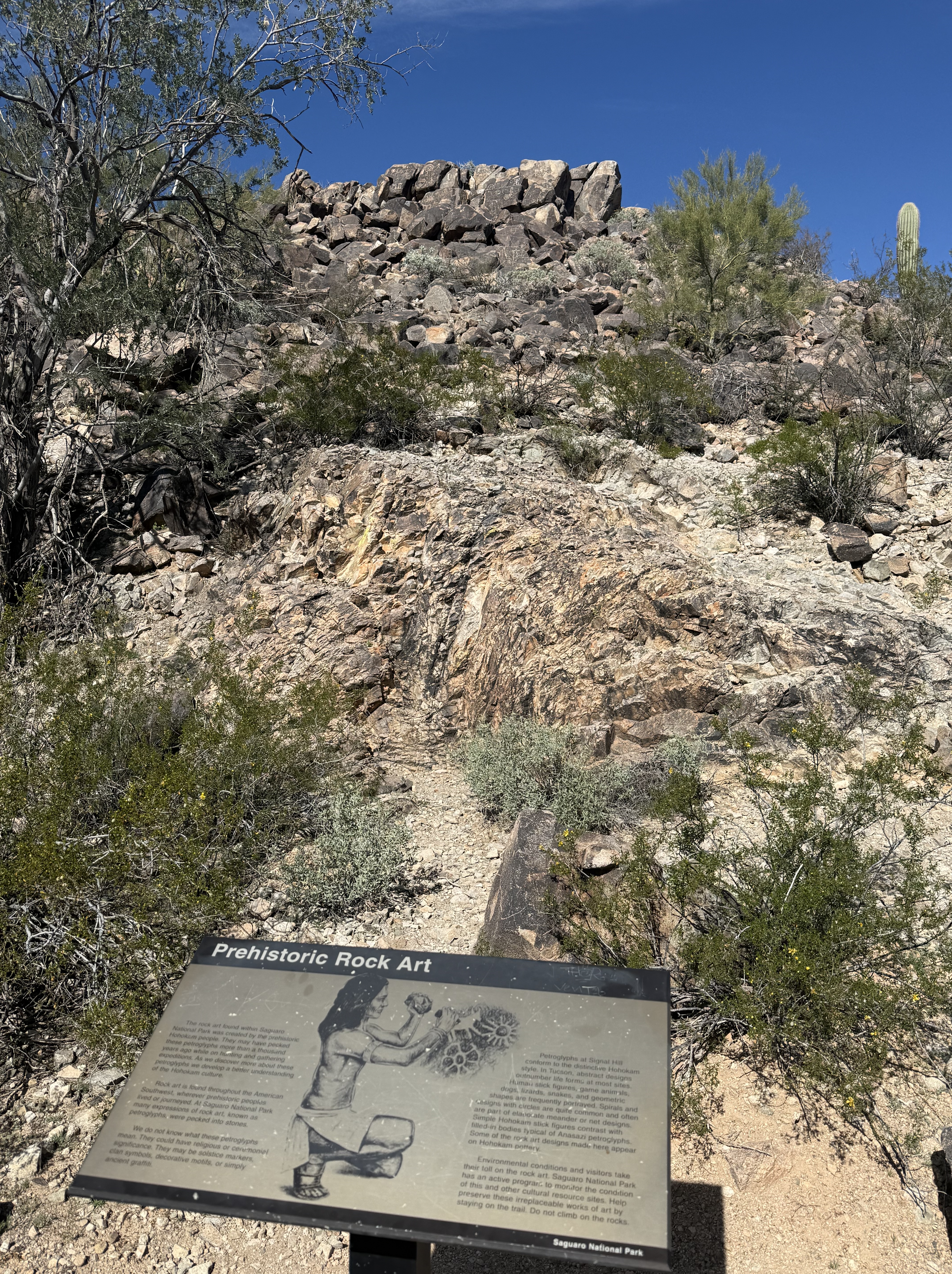
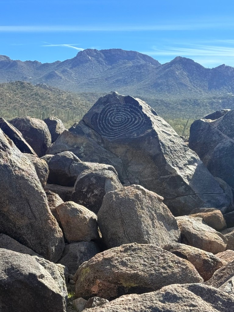
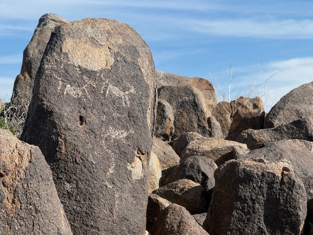
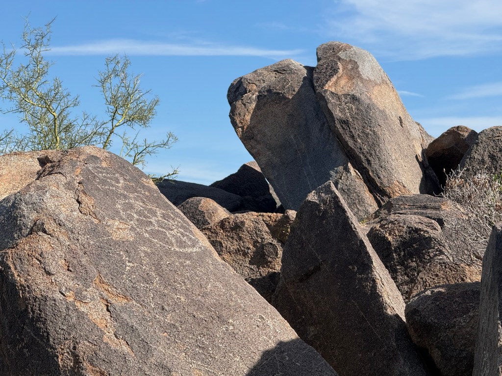
It was a short walk down to the bottom of Signal Hill where we looked up at a pile of rocks and boulders covered with petroglyphs, ancient symbols carved into the stone. An information board at the base of the hill explained the art was created by the Hohokam people, perhaps one thousand years ago.
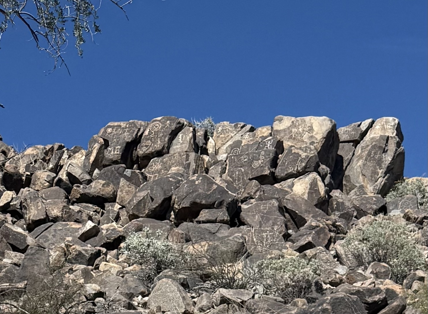
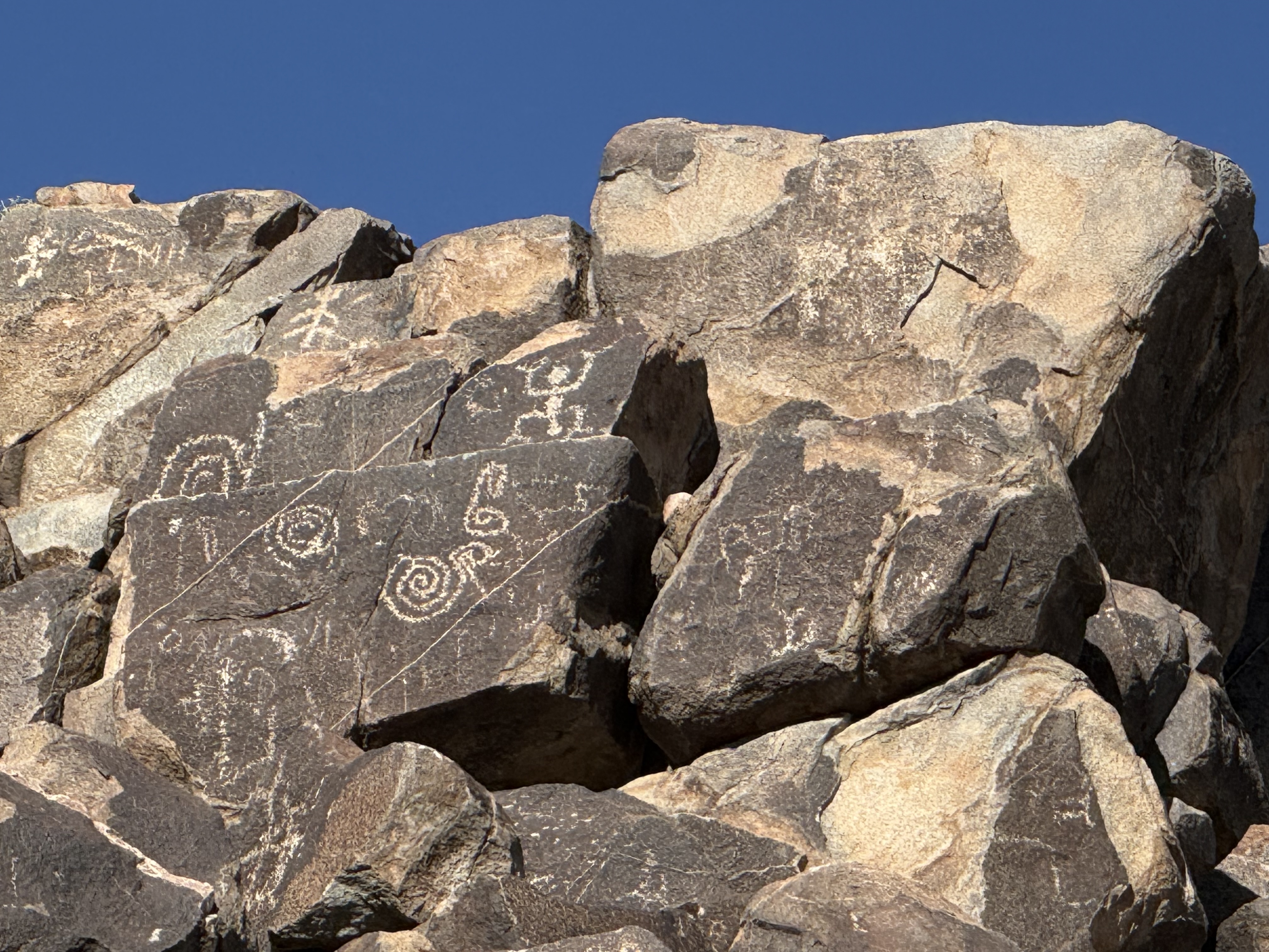
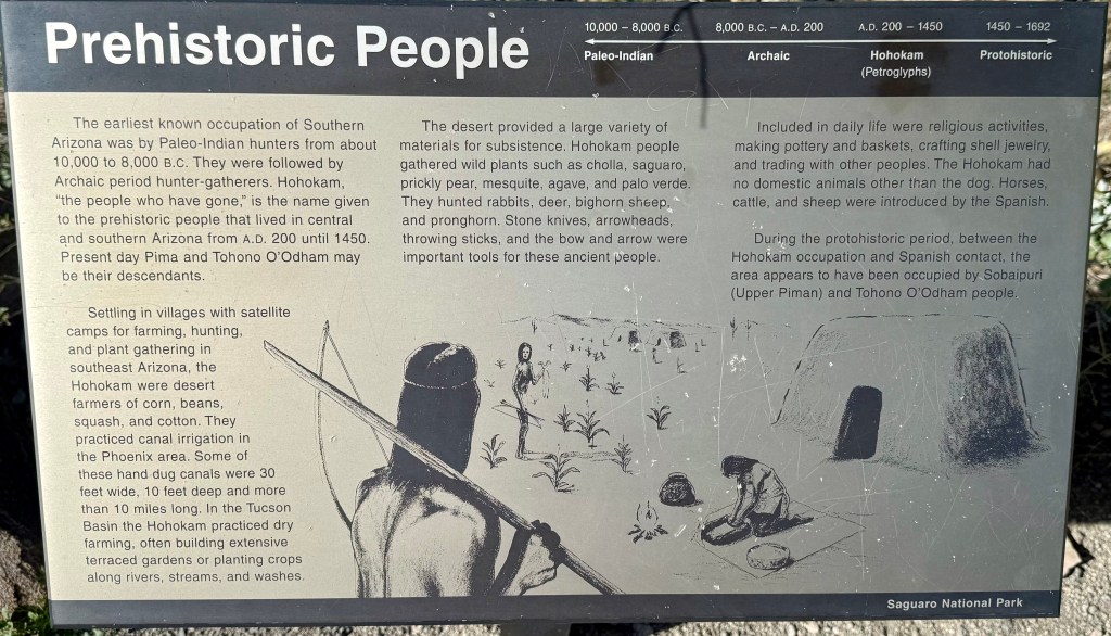
I followed Reg to the top of the hill where another information board explained more about the prehistoric people of the area. We also were able to see more examples of the ancient art up close.
After taking in the view, it was time to make the trek back, following in the ancient footsteps of the Hohokam people. What will be left of our culture 1,000 years from now?

Leave a reply to Betty Cancel reply