Tag: Hiking in Arizona
-
Continuous Travelers – Rock On
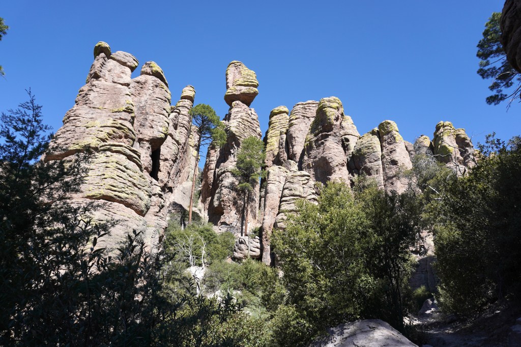
Several years ago, as we wandered through Saguaro National Park in Arizona, a couple suggested we stop at Chiricahua National Monument. We had not heard of it, but made the detour to check it out.It’s a small, out-of-the-way park outside of Willcox, (spelled with two Ls) Arizona. Back then, Reg learned of a park service…
-
We Won’t Be Fooled Again
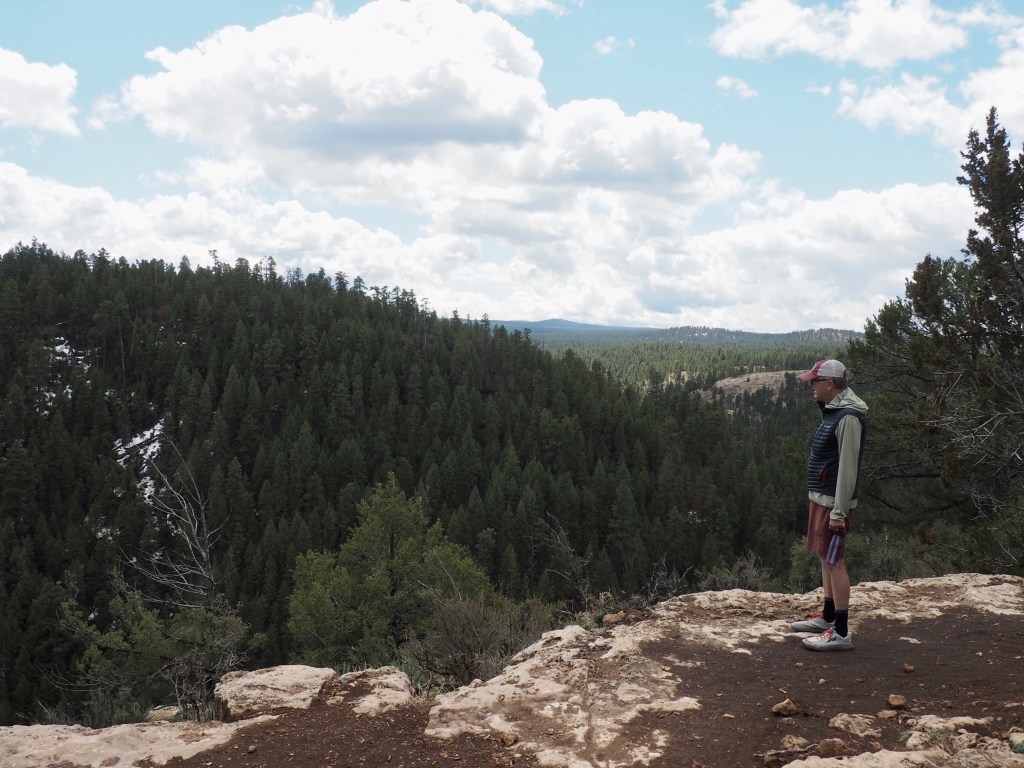
We should have known better than to assume our first steep, rocky climb along the Brown Mountain Loop Trail would land us at the high point. The trail is considered moderately challenging with less than 700 feet of elevation gain. We thought we’d nailed the climbing in record time. Until we looked ahead. As it…
-

Desert Waterfall Walks
Saguaro National Park East The trail to Bridal Wreath Falls was a bit of a challenge, but the idea of seeing a waterfall in the desert was a novelty for us. Located in the eastern side of Saguaro National Park, the 7.75-mile trek rises 1,200 feet above the valley floor, eventually leading to the base…
-

-

Do Horse Steps make Horse Sense?
The trail description warned there would be no “warmup” when starting the Hugh Norris Trail, one of the many trails found in Saguaro National Park West. One grumpy AllTrails reviewer complained the “1,000 horse steps were senseless for hiking trails.” I’ve never heard of horse steps and I’m pretty sure 1,000 was an exaggeration, although I didn’t…
-
Cactus With Charisma
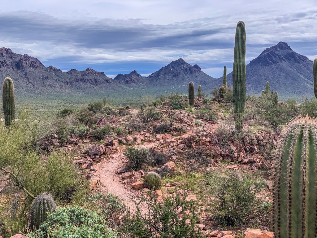
Tucson Mountain Park was our choice for a day hike during our short stay. The park has a network of trails and an abundance of saguaro cactus scattered throughout the mountains and valleys. Unique to Arizona’s Sonoran Desert, these slow-growing giants can reach 40-60 feet and live 150-200 years. Saguaros have the classic cactus look,…
-
Maine or Bust 2022: A Sample of the Arizona Trail
Flagstaff, Arizona welcomed us yesterday with some bitterly cold snow and ferocious nighttime winds. We huddled in bed under two blankets and a thick quilt as the trailer rattled and shook. What would the morning bring? We awoke to sunshine and temperatures expected to soar into the 50s. Perfect hiking weather. Before heading east, Reg…
-
Maine or Bust 2022: The Crack?
We bumped into a couple from Montana the other day while hiking an off-the-beaten-path trail outside of Camp Verde, Arizona. Both raved about the nearby Bell Trail, claiming the hike was beautiful and led to an intriguing feature not to be missed. “Be sure to go to the end of the trail to see The…
-

Lost in the Granite Dells
Several folks insisted the great hiking through unusual rock formations (know as Granite Dells) just outside the city of Prescott, Arizona was not to be missed. We packed our lunch, filled our water bottles and set off over the hill to see what all the fuss was about. These granite boulders were formed 1.4 billion…
