We thought we must be close to the top when we came upon a sign that marked the halfway point.
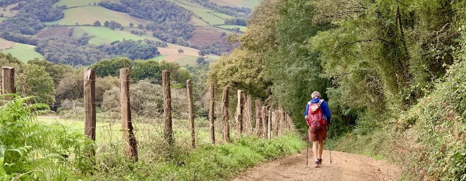
Our guidebook promised the views were well worth the 5.2 mile hike up to the top of Wagner Butte. Located west of Ashland, the trailhead was just a short drive from our home, so we packed our lunch and jumped in the trusty Subaru.
The fall day was sunny and warm, but not too hot…just right for a trek with a 2,200 foot elevation gain. “We can do this,” we assured each other.
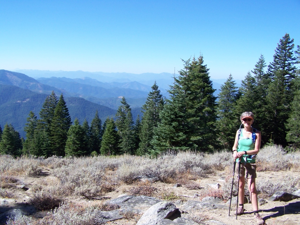
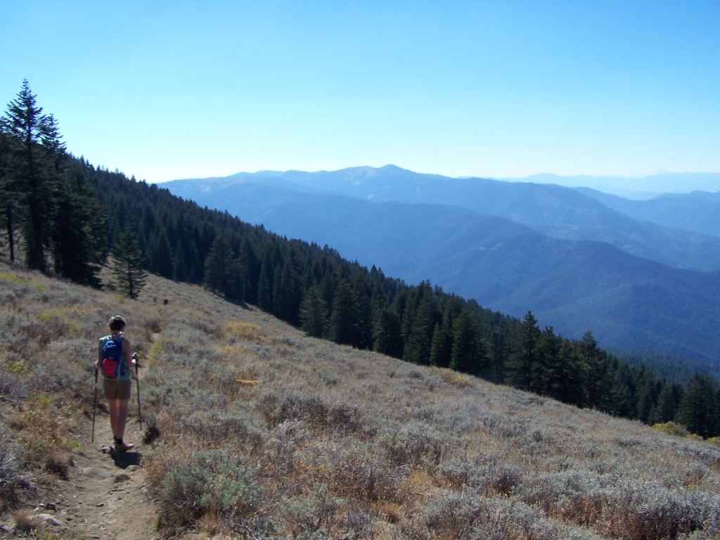
The trail took us through a forest of old growth firs, across the site of an enormous 1983 landslide, through sagebrush meadows and even a grove of aspens.

As we neared the summit we could see Mt. Ashland (on the right) and Pilot Rock (the small knob in the distance).

It's a bit of a scramble to reach the top.
A fire lookout was constructed atop Wagner Butte after a 1910 forest fire threatened Ashland. It remained in use until the early 1960s when airplanes began to take over fire surveillance. A leftover railing, old foundation piers and an incredible view reward hikers who reach the top.
As we headed back down the mountain, I began to think about returning in the spring. I bet the wild flowers will be beautiful!


So beautiful ! Thanks for posting these great pictures.
LikeLiked by 1 person
Wow, what a hike. Looks like you were in open sky territory much of the time. Thanks for the blog.
LikeLiked by 1 person